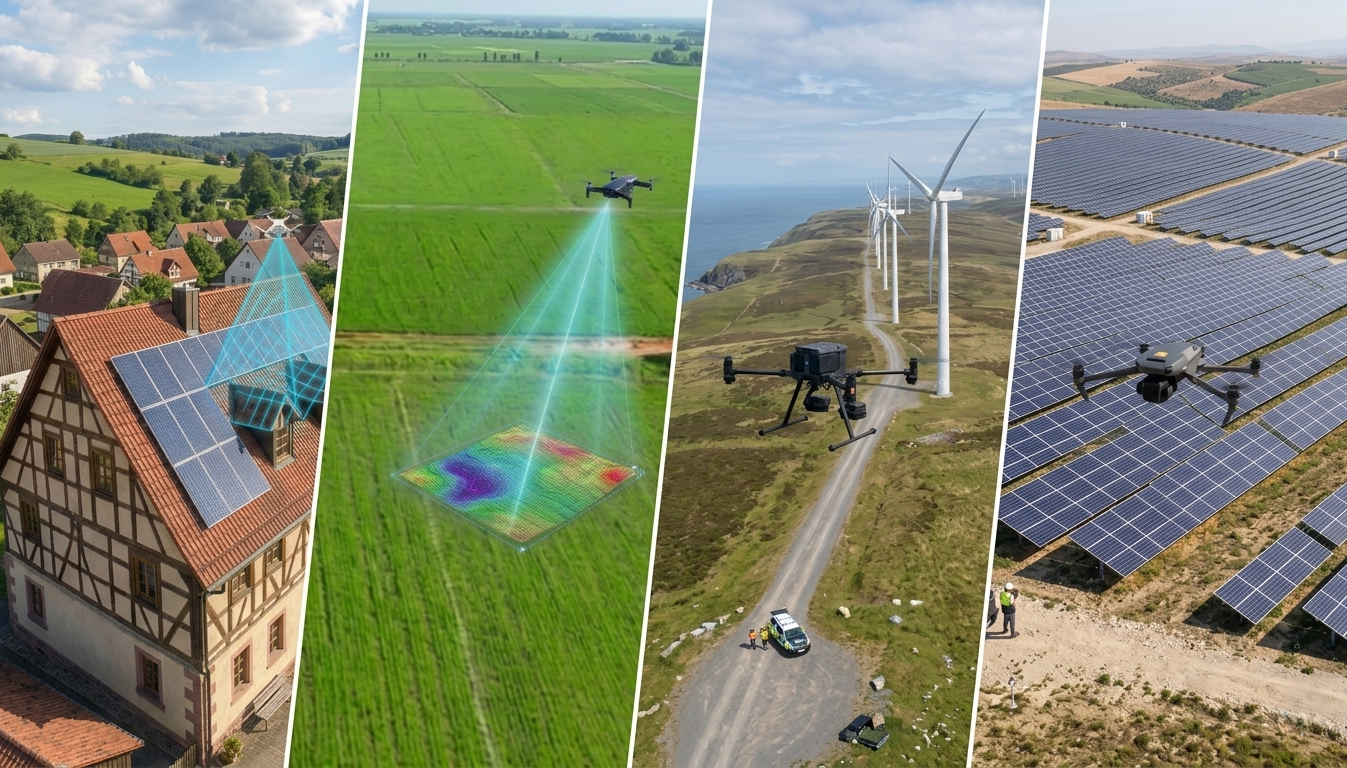
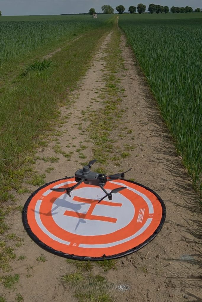
Drone Services for Construction, PV, Mapping and Industry
Technical aerial data for engineering offices, construction companies, PV operators, project developers and industrial sites.
Georeferenced Aerial Images
High-resolution drone images with positioning data – ideal for planning, documentation, site overview and technical project communication.
Orthophoto & Mapping Data
Structured aerial data for sites, construction areas and technical facilities. Suitable for project overviews, asset documentation and internal evaluation.
Construction & Project Progress
Regular aerial documentation for construction progress, reporting, evidence records and comparison of different project phases.
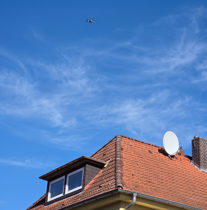
Roof, Facades & Building Documentation
Visual documentation of hard-to-reach building areas – faster, safer and with reduced need for risky manual access.
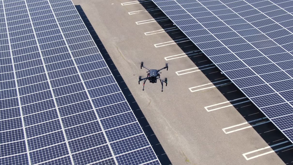
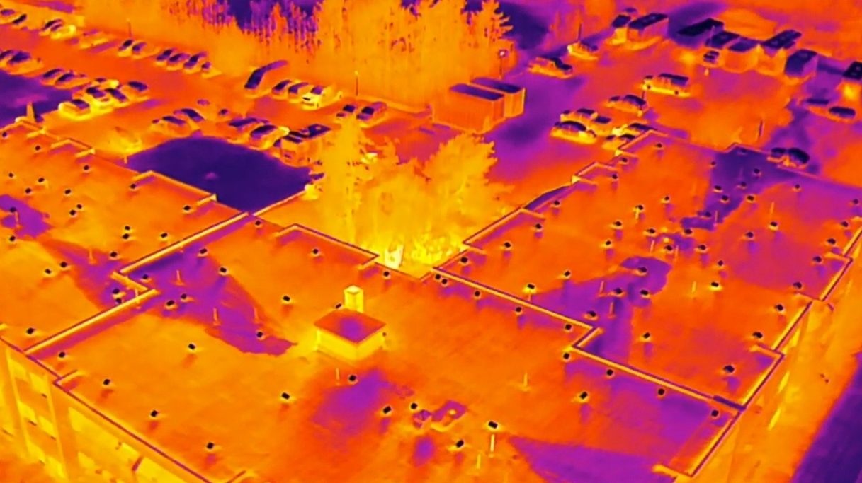
PV Systems & Thermal Visual Inspection
Drone-based documentation of solar assets and, where available, thermal visual inspection to identify noticeable areas.

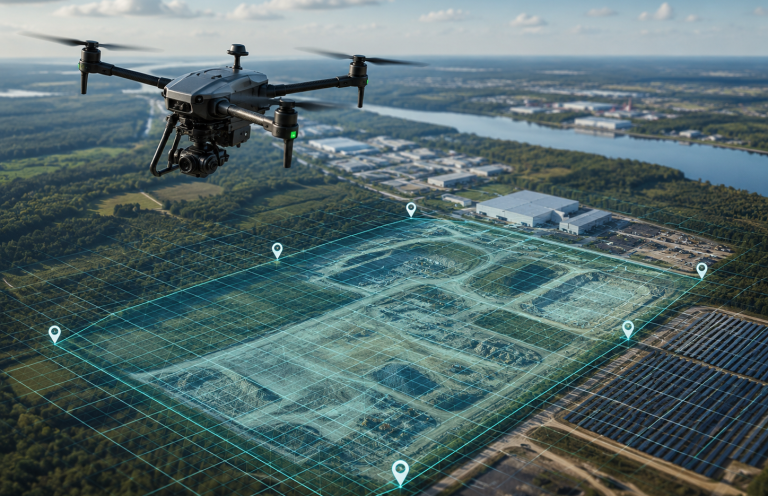
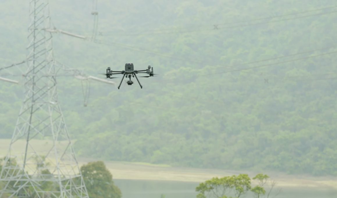
Infrastructure & Industrial Sites
Aerial data for technical facilities, operational areas, storage sites, energy projects and hard-to-access infrastructure.
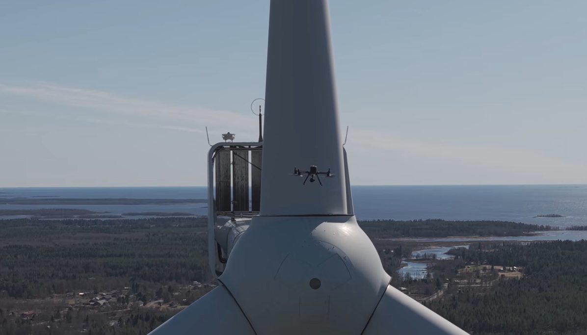
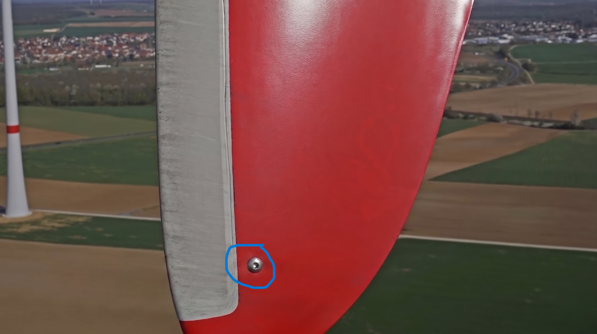
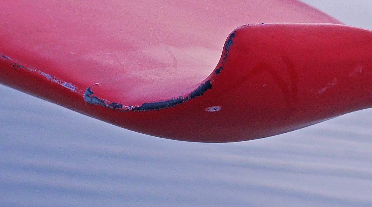
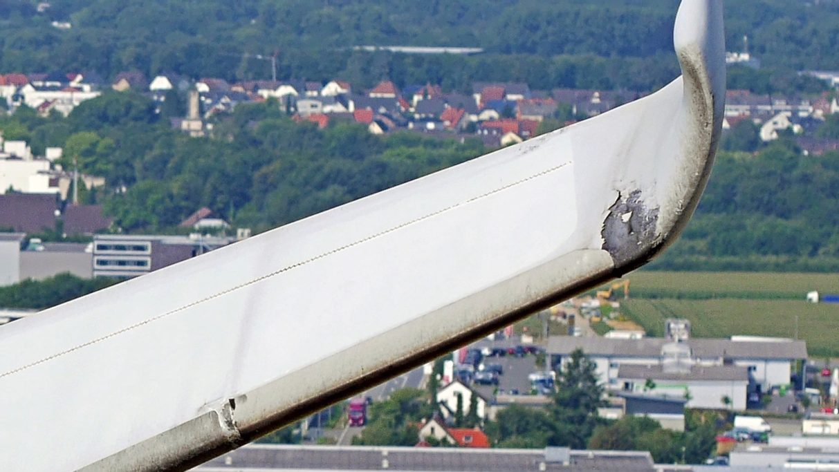
Wind Energy Assets
Drone Documentation for Wind Turbines /
Rotor Blade Imaging & Aerial Data
HerkulesAir supports operators, maintenance companies and technical service providers with visual data collection for wind energy assets. Using high-resolution drone imagery, we document rotor blades, towers, hubs, nacelles and hard-to-access areas in a structured and project-specific way.
Our aerial data can support preliminary assessments, maintenance planning, condition documentation, internal reporting and the preparation of further technical actions.
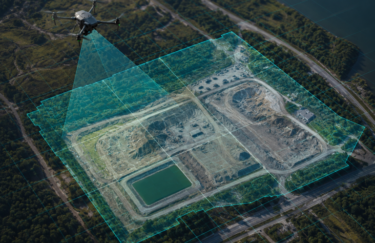
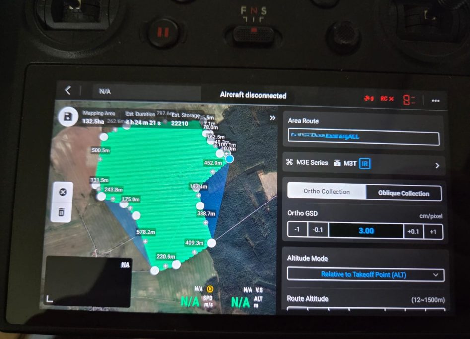
Mapping & Technical Aerial Data
Drone-Based Aerial Data for Engineering, Planning and Surveying Teams
HerkulesAir supports engineering, planning and surveying teams with high-resolution georeferenced aerial images, orthophoto datasets and drone-based site documentation.
Our drone data is suitable for construction sites, open areas, PV assets, industrial facilities and project areas where fast visual overview, structured image data and traceable documentation are required.
We provide supplementary aerial data for planning, asset documentation, preliminary assessments and photogrammetric processing – depending on project requirements, terrain, weather and site approvals.
Note: HerkulesAir does not provide official cadastral surveying. We deliver drone-based aerial and mapping data as supporting material for planning, documentation and technical evaluation.
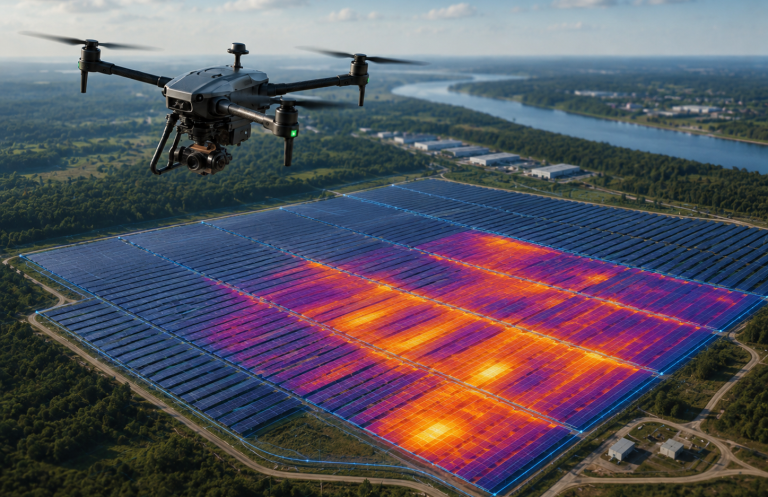
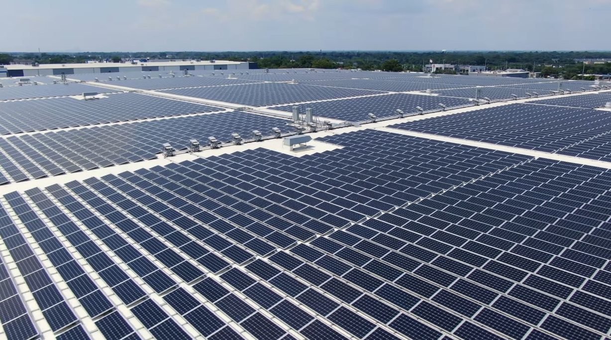
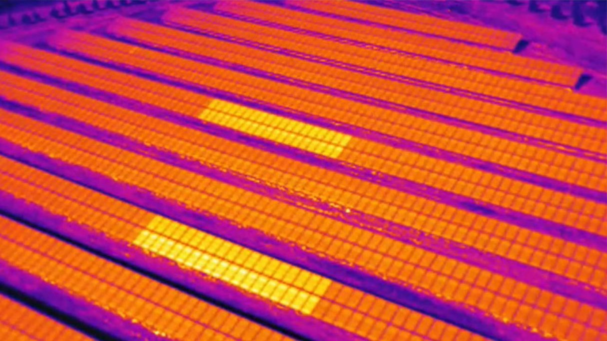
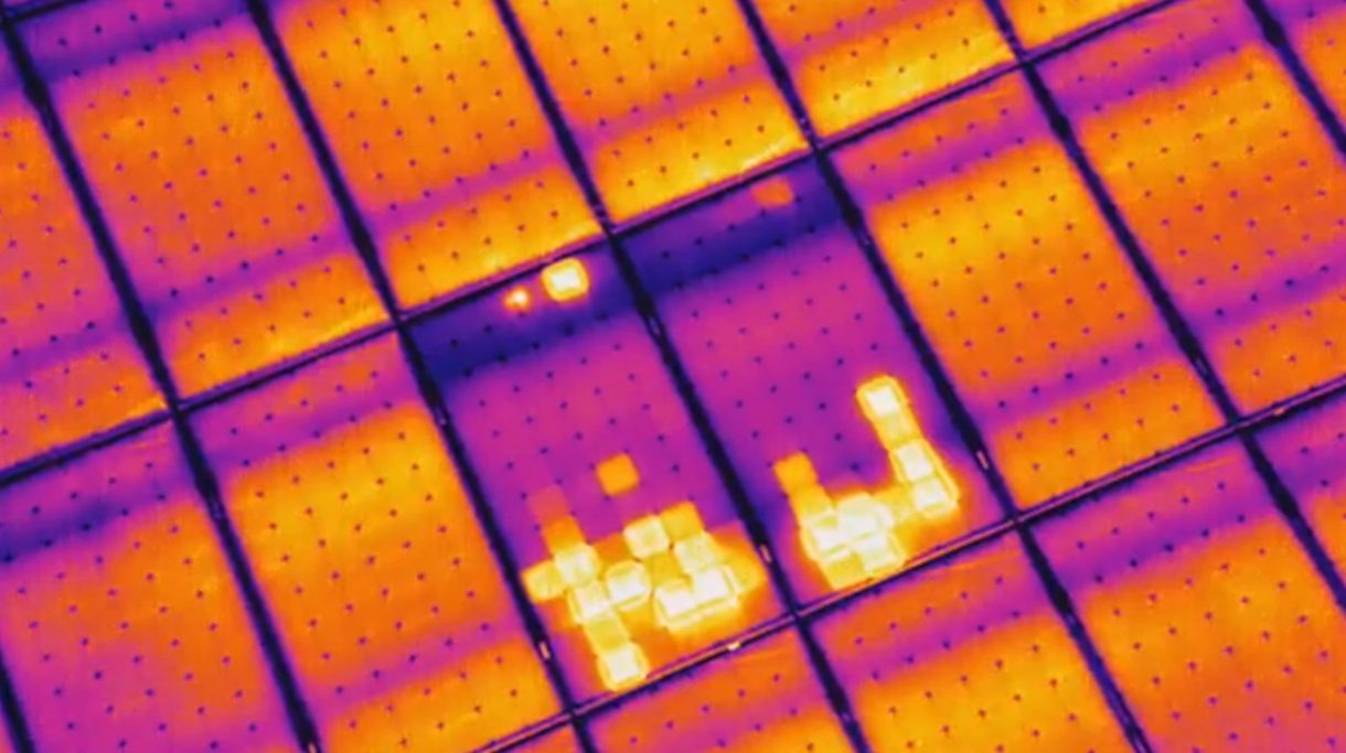
PV & Solar Parks
Drone-Based Documentation for Utility-Scale PV Plants and Solar Parks
HerkulesAir supports operators, EPC companies, O&M service providers and project developers with visual data collection for utility-scale PV plants. Using high-resolution drone imagery, we document module rows, inverter areas, access roads, cable routes, mounting structures and visually noticeable areas.
Our aerial data can support asset documentation, maintenance planning, construction progress monitoring, preliminary technical assessments and internal reporting. Where suitable equipment is available, the data capture can also be complemented by thermal visual inspection.
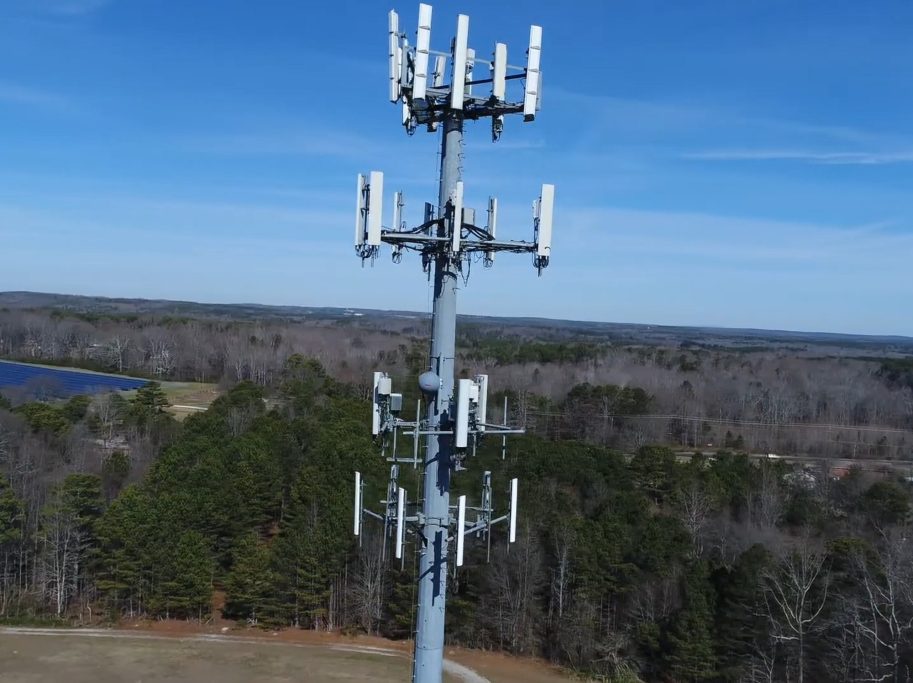
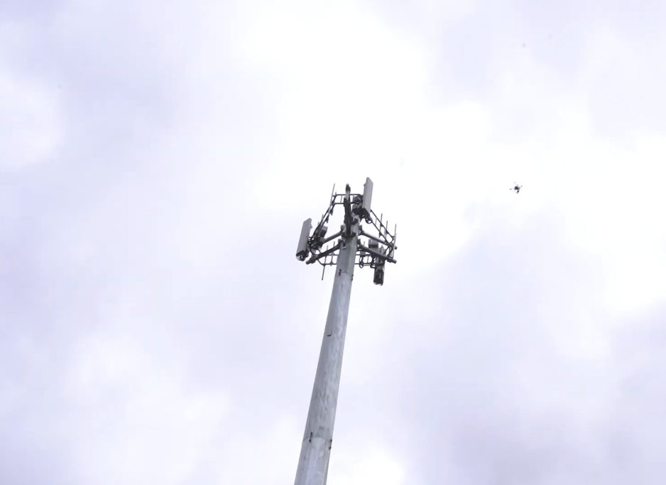
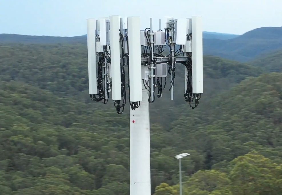
Telecommunications & Infrastructure
Drone-based visual inspections of cell towers and communications infrastructure
HerkulesAir supports operators, service companies, technical contractors and site managers with visual documentation of mobile network sites, antenna systems, communication towers and hard-to-access infrastructure areas.
Using high-resolution drone imagery, we document tower sections, antennas, cable routes, brackets, access areas and visible anomalies in a structured way – reducing the need for unnecessary climbing during the initial assessment phase.
The data can support condition documentation, maintenance planning, preliminary assessment, project coordination and internal technical reporting. Flights are carried out depending on site approval, safety requirements, weather, radio environment and applicable regulations.
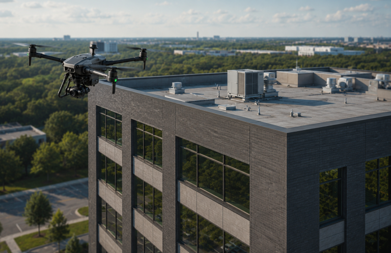
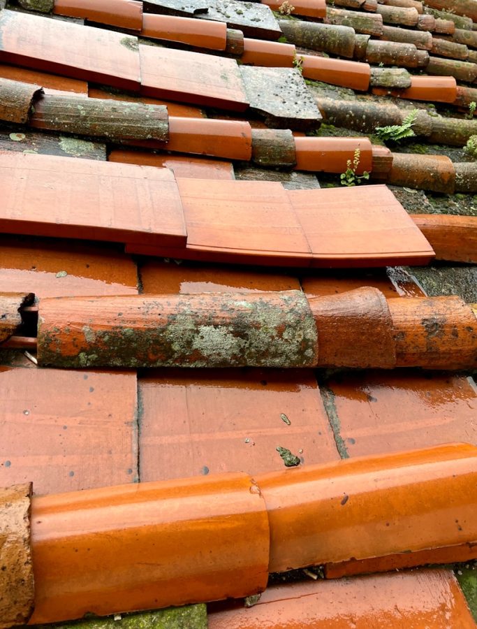
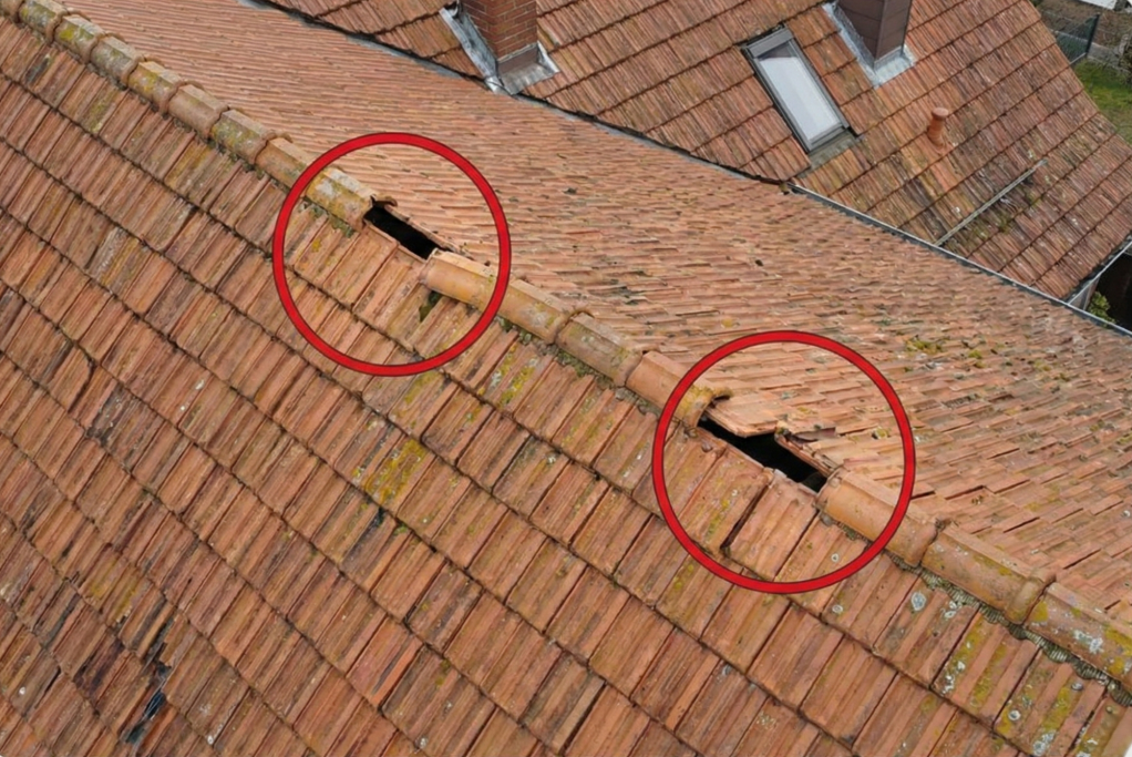
Roof & Building Documentation
Document Roof Anomalies Early – Support Better Cost Decisions
HerkulesAir supports property owners, facility managers, roofing companies, assessors and building managers with visual documentation of roofs, façades and hard-to-access building areas.
Using high-resolution drone imagery, visible anomalies such as damaged roof tiles, loose components, dirt, moisture traces, storm-related damage or difficult-to-access roof sections can be documented in a structured way – reducing unnecessary access risks during the initial assessment phase.
The image data can support preliminary assessments, quotation preparation, damage documentation, maintenance planning, insurance communication and internal decision-making.
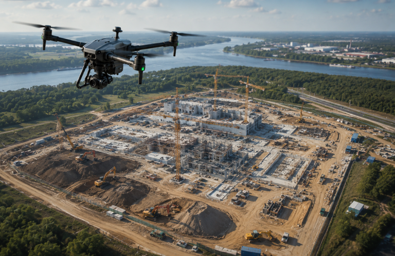
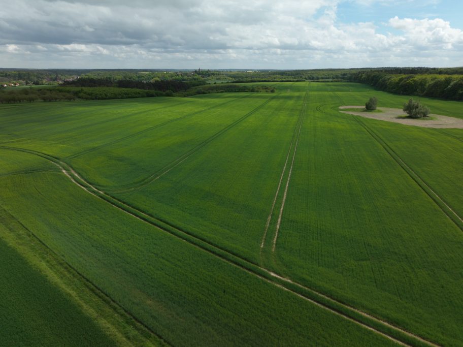
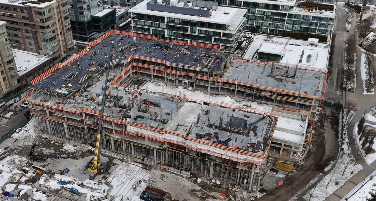
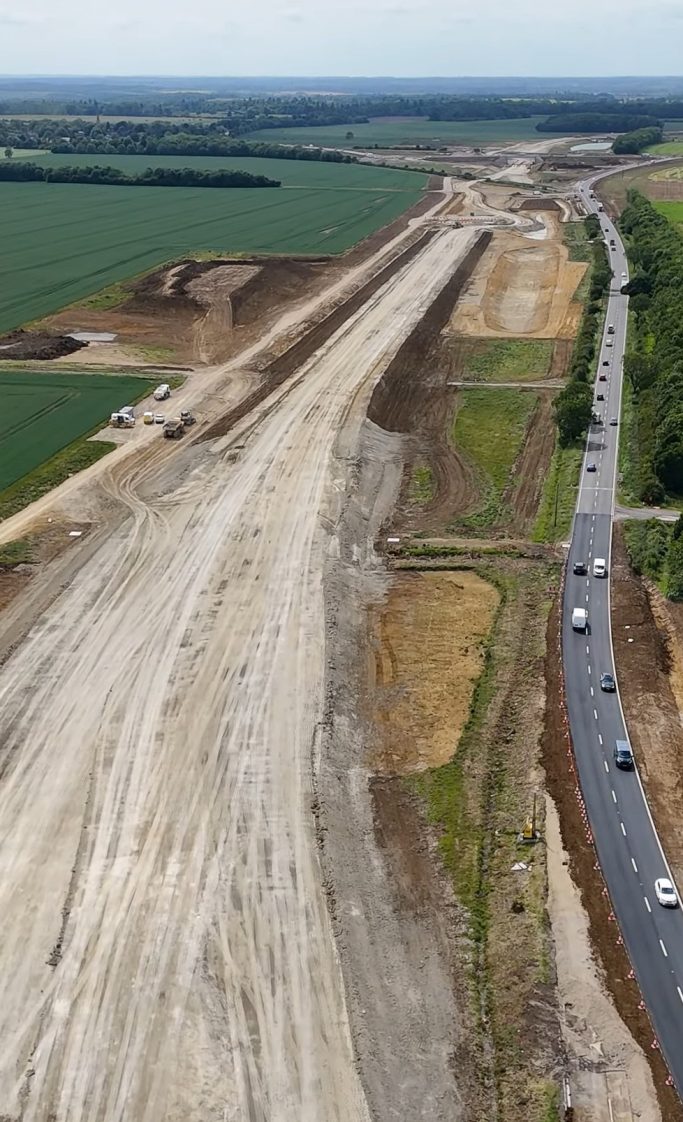
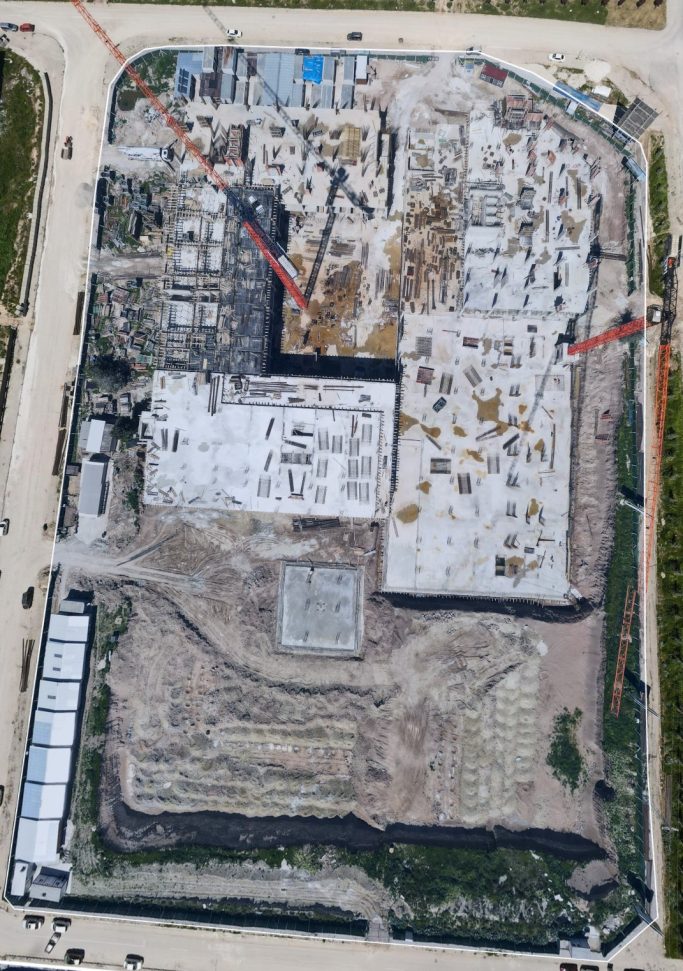
Construction Progress & Site Documentation
Document Construction Progress Regularly – Keep Your Project Status Traceable
HerkulesAir supports construction companies, project developers, engineering offices, investors and site managers with regular drone-based construction documentation. Aerial imagery provides a clear overview of construction progress, material areas, access roads, work zones, terrain changes and critical project phases.
Regular aerial images help compare project stages, improve internal coordination, secure visual records and identify delays or deviations at an early stage. The data can be used for site management, reporting, investor communication, project archives and technical documentation.
Each mission is planned based on project requirements, weather, flight permissions, safety distances, construction site activity and data protection requirements.
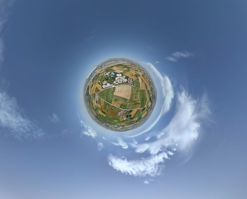
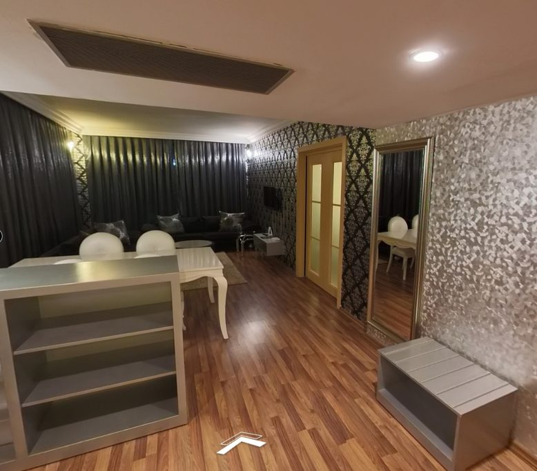
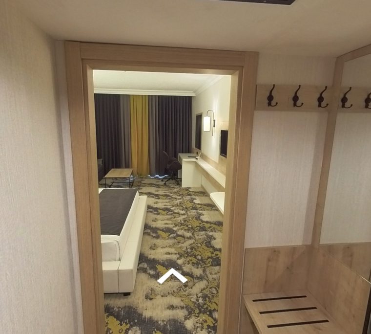
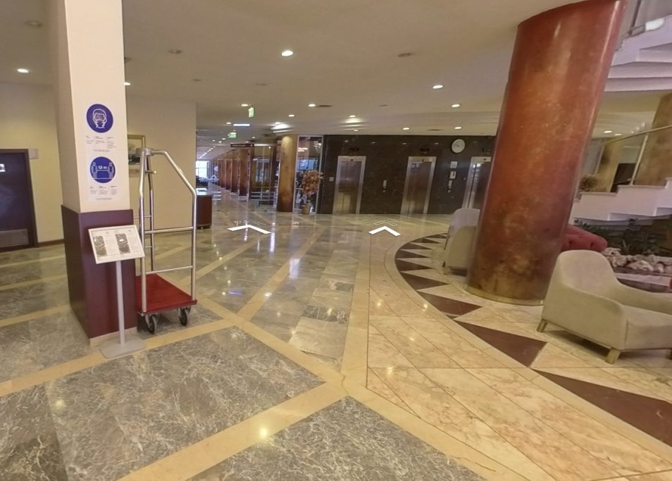
Real Estate Media & 360° Virtual Tours
Real Estate Marketing with Drone Images & 360° Virtual Tours
HerkulesAir supports real estate agents, property owners, facility managers and project developers with professional visual presentation of residential and commercial properties.
With high-quality drone images, exterior views and 360° virtual tours, potential buyers or tenants can better understand a property online – including location, outdoor areas, spatial impression and building layout.
The result: more attractive listings, stronger property presentations and better-qualified enquiries before an on-site visit.